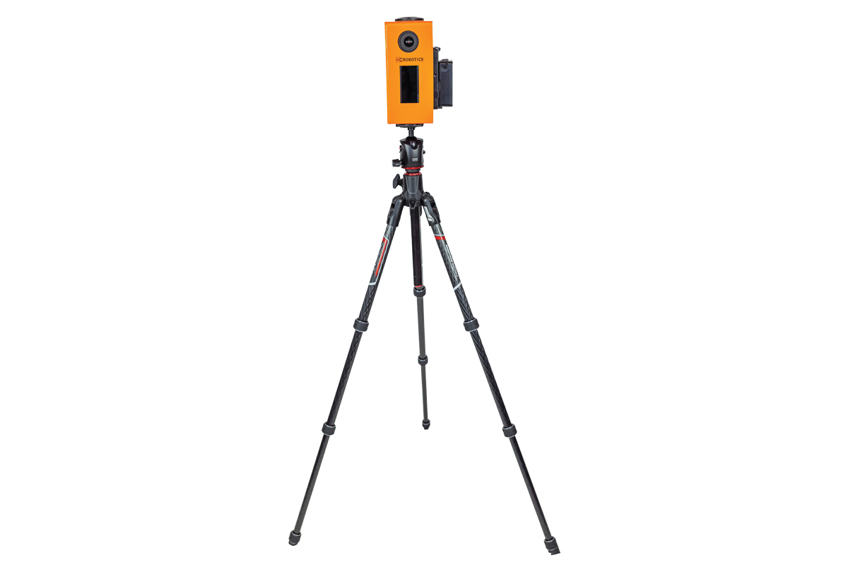
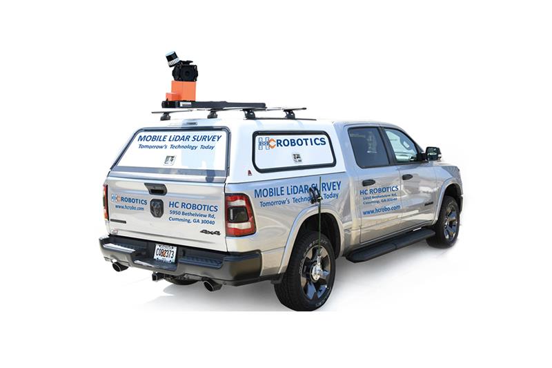
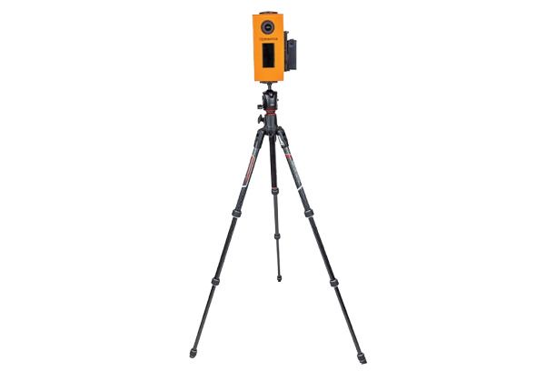
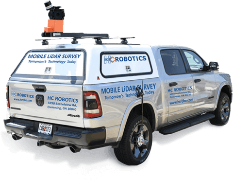
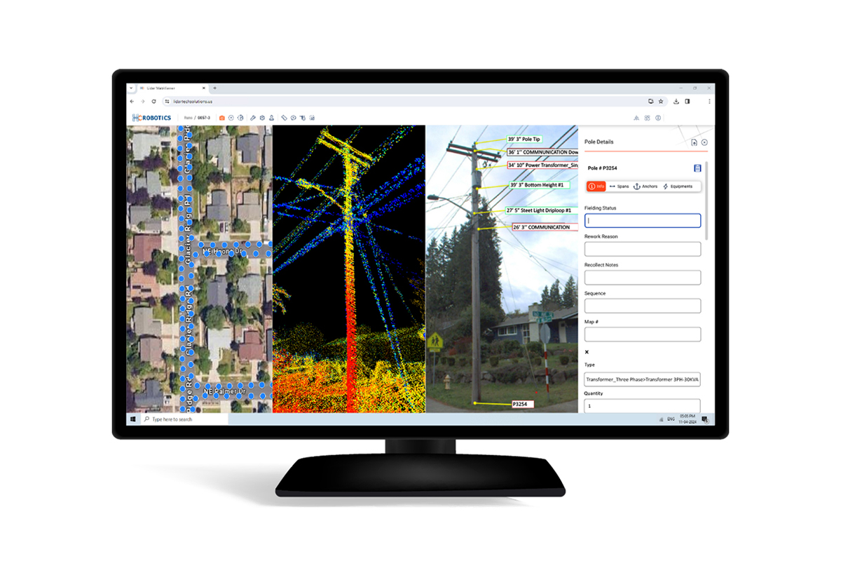
The HC Robotics Mobile Mapping Solution is designed to revolutionize asset management, road survey, and corridor mapping tasks. It eliminates the need for physical surveys, thereby saving valuable time and money for industries like telecom, utilities, smart cities, railways, oil and gas, and DOT sectors.